Data for Good: Open Electoral Map
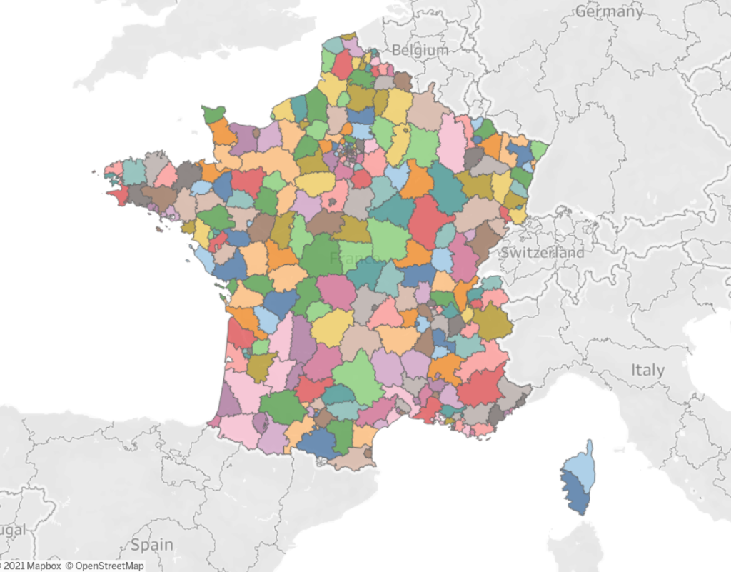
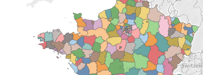
A web interface (e.g. a Jupyter notebook on Binder) displaying a map of France divided in X circonscriptions, with a slider to change their number. Circonscriptions must be equal in population compact (no weird shapes) and continuous (not broken in different parts). As much as possible they must not go out of commune and départements limits. For the first version we developed an evolutionnary k-means clustering algorithm to create equally sized population clusters. Read more about the project here: https://dataforgood.fr/projects/4_redecoupage-citoyen.html https://404.codefor.fr/
https://github.com/dataforgoodfr/batch4_open_electoral_map/